image of red rocks colorado

Rock Icon Rock Talk Rock Icon

Uncover geology one layer at a time!

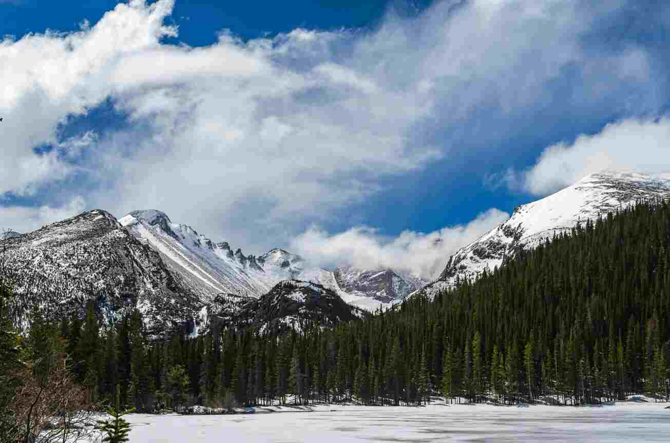
Image of bear lake and the Rocky Mountains.

The Story of the Rockies

Like many Coloradans, I have marveled at the Rocky Mountains every chance I can get. However, I have always wondered how their majestic peaks came to be. You can imagine my surprise when I found out that the origins of these mountains are not only a mystery, but that the region they occupy started out underwater as well! As soon as I learned about this, I was hooked. I have completed several assignments for my geology class about this topic but that still is not enough. I needed to know how exactly the Rocky Mountains formed, and I am sure you are all interested in their origin story as well now. To preface, I think the origin story of the Rocky Mountains is best told split up into four chapters: the first set of the Rocky Mountains, when Colorado was submerged underwater, the actual uplift, and the downfall of them. So, how exactly did the Rocky Mountains form?

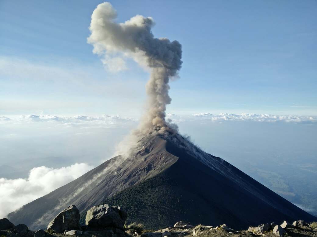
Image of the Acatenango Volcano in Guatemala

Mountains: The Crash Course

Have you ever wondered what the difference is between the Cascade Mountain range and the Himalaya Mountain range? Maybe you have seen news reports about volcanic eruptions and earthquakes and wonder why we cannot stop them? Well, we can’t stop tectonic plates from moving, but we can understand how they work and what their movements mean to us. Today, you’re going to learn about two types of mountains, volcanic and collisional. These mountains and the tectonic activities that produce them can be hazardous to us; however, they also offer us many benefits as well. Let’s take a “peak” behind the curtains that form mountains and what that means for us.

Photo of a map with elevation lines.

Geology and Technology: Two Ology BFFs

You might be wondering what the heck is a computer science student doing taking a geology course? Well, besides the class fitting into my schedule, I have always been curious about the natural world, and I wanted to know more. Thanks to my geological studies, I have learned that geology has many facets that often intertwine with the computer science field, particularly in areas like data analysis. Not only am I enthusiastic about geology, but I am also passionate about technology and information being widely accessible to the public. Without computers and accessible technological advancements, the geological field would face significant challenges. Data driven technology helps support geology in numerous ways. Additionally, open source and accessible geological tools are vital for the Earth science field. From the research I have conducted, it’s clear that technology has greatly enhanced geologic mapping and the analysis of geologic data. Before we dive into the nuances of how technology impacts geologic maps and field data, let’s discuss why geologic maps are so important.